
Custom software, AI consulting, and spatial technology designed to solve real business challenges and create better ways to work.


ABOUT US
Built for Real-World Systems
Zenith Point Innovations turns complex challenges into practical, real-world solutions.
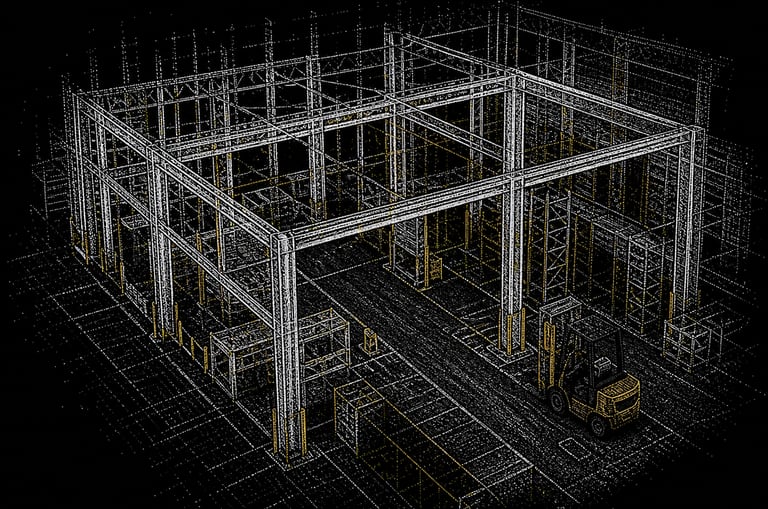
We work across custom software, artificial intelligence, AI consulting, and spatial systems to help businesses solve problems, improve workflows, and make better use of their data.
Our focus goes beyond simply building software. We combine problem-solving, development, and industry experience to create solutions that are useful, accessible, and built around the way people actually work.
Stay Connected


Have a question, an idea, or a challenge you’re trying to solve? We’d like to hear from you. Connect with Zenith Point Innovations to learn more about our work, explore our solutions, or start a conversation about what we can build together.
Contact
info@zenithpointinnovations.com
© 2026. All rights reserved.

Zenith Point Innovations
100 Bull St STE 200
Savannah GA 31401