Making Spatial Systems Accessable
Spatial systems and point clouds help teams capture, understand, and use real world environments.
Zenith Point Innovations builds platforms that make these tools easier to access, process, and apply in everyday workflows.


Designed to Work Across Devices
Mobile LiDAR Capture
Capture spatial data using supported mobile devices through a dedicated app.
Windows Desktop Tools
Process, review, and manage spatial data in a controlled desktop environment.
Web-Based Access
View and share spatial environments through browser-based platforms.


From Complex Tools to Practical Workflows
Spatial data should not be locked behind expensive hardware or complex software.
These systems make real-world data easier to capture, access, and use.
The Point of
Acessible Spatial Systems
Spatial systems should not be complex or limited to specialists.
They should be usable, reliable, and built for real-world workflows.
What Accessible Spatial Systems Enable
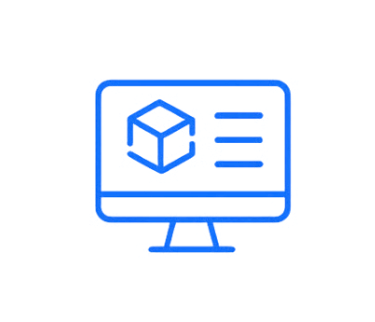
Interactive 3D Visualization
Understand real-world environments in a clear, visual way.
Digital Representations
Create accurate models of physical spaces.
Clear Spatial Analysis
Work with data that is structured and easy to interpret.
Cross-Device Access
Capture, process, and view environments anywhere.


Turn Complexity into Usable Systems


Process
Access
Capture
Reduce reliance on specialized tools and expertise
Automate time-consuming workflows
Scale with real-world operations
Deliver consistent and reliable outputs


Navigation
Contact
info@zenithpointinnovations.com
+1 (850)-567-6201
© 2026. All rights reserved.

Get updates